Basement Surveys
Read more +
Infotec - Call 01702 410744


Superior Alignment and full 3D Mapping of Strategic Assets to satisfy ongoing BIM and Modelling Requirements.

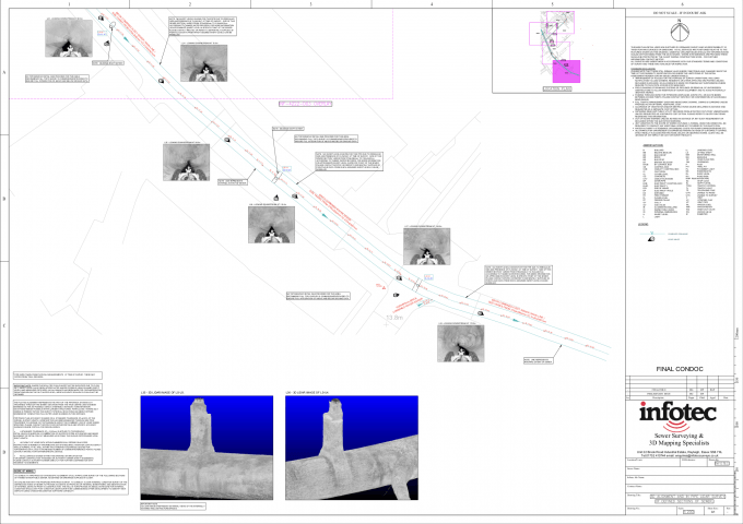
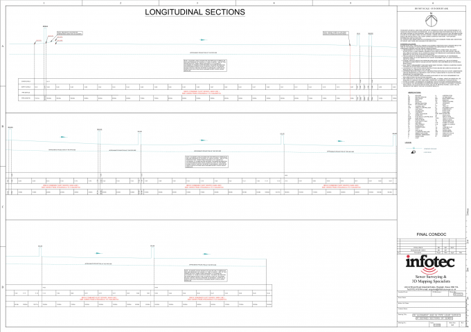
Taking Gyroscopic Alignment one step further, the inclusion of Full In-Pipe LIDAR Scanning both enhances alignment accuracy and expands upon the lineal mapping of the pipeline route by adding 3D properties and confirming the internal extent of the structure which can be invaluable in informing the design of infrastructure and piling schemes around an existing underground asset.
It is also common for internal structures to change shape and size along their route and the inclusion of full In-Pipe LiDAR will ensure that these deviations are captured accurately within the point cloud model. The quantity of internal data captured in one traverse will also ensure that the data is future proofed in the event that further information is required to inform later elements of the project or to confirm the presence of pre-existing defects for liability or monitoring purposes.


Talk to one of our specialist team to find the right solution for your next project.
Contact us +