Remote LiDAR Scanning
Read more +
Infotec - Call 01702 410744


LiDAR scanning has been active within the survey industry for some time now and is commonly used at surface level in conjunction with mobile mapping methods and drones to provide cost effective 3D representation of above ground infrastructure and topography.

Infotec have developed several remote access methods and survey platforms that now make this level of data available below ground. This technology along with our unique expertise in remote access survey applications is now changing the thinking on personnel entry into high risk environments.
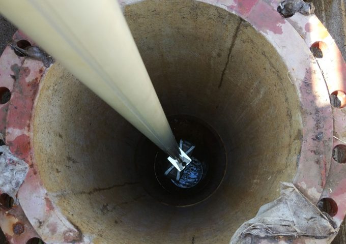
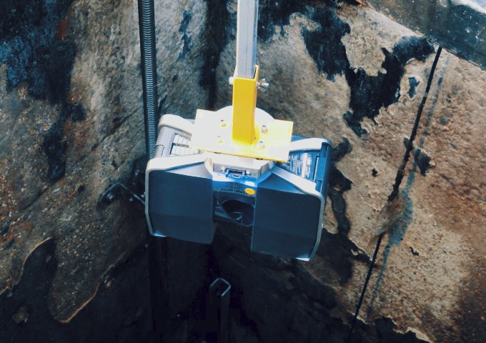
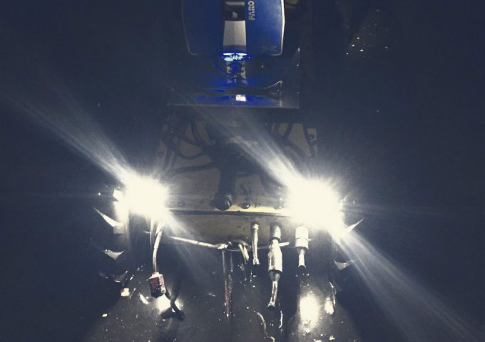
Remote LiDAR Scanning is often completed in conjunction with Gyroscopic Alignment to provide a fully mapped, internal 3D model of a lineal underground structure. However, it can also be conducted in isolation if alignment is not required or has already been confirmed. In Pipe LiDAR Scanning will provide an accurate 3D profile of the internal pipeline fabric and superior identification/measurement of internal defects. This will in turn provide an absolute record for later comparison with post construction LiDAR surveys to assess the impact on the asset using change recognition capability. Additional 3D Modelling Services are also available if required.

Talk to one of our specialist team to find the right solution for your next project.
Contact us +